InTDS ArchivebyMilan JanosovExploring Large-scale Raster Population DataVisualizing geospatial population data across multiple scales: global, country-level, and urbanSep 21, 2023Sep 21, 2023
InStackademicbyIhor LukianovIntroduction to Geospatial Analysis with GeoPandasGeographical Information Systems (GIS) is a vast field of research that deals with analyzing and visualizing geographical data using…Mar 26, 20243Mar 26, 20243
InPython in Plain EnglishbySameerExploring Open Route Service API with Python and PlotlySome interesting services that an open route providesSep 4, 2021Sep 4, 2021
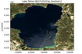
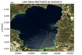
InTDS ArchivebyMahyar Aboutalebi, Ph.D. 🎓A Simple Way for Downloading Hundreds of Clipped Satellite Images Without Retrieving the Entire…Learn how to download a clipped Sentinel-2 image for any Area of Interest (AOI), Lake Tahoe here, with just 12 lines of script.Apr 26, 20242Apr 26, 20242
Noah HradekThe UFO States of AmericaYou’re most likely to see a UFO If you live in Vermont.Apr 6, 20241Apr 6, 20241
InTDS ArchivebyGustavo R SantosGeospatial Data Science: Points Pattern AnalysisA quick tutorial to perform a geospatial points pattern analysis in Python.Sep 25, 20235Sep 25, 20235